Debris Flume

Today I strolled up Forest Road 130, stopping at a sign reading:
U.S. Geological Survey Debris-Flow Flume
This facility is used to create debris flow and avalanches for research purposes. The flume and adjacent areas are very hazardous and open to authorized personnel only.
Unauthorized persons keep out.
But yesterday:
Emerging from a different trail with Fred, the debris flume struck a match on another image. At first glance I saw built into the hillside a concrete channel with low walls and stairs on either side. At the top of the stairs on the left side of the channel sat a small hut. Together the arrangement gave the impression of a funicular—a cable-drawn railway. Nothing as grand as Prague’s Petrin Hill or Paris’ Montmartre, but, viewed from the bottom right side, at first approach, it could have been a small track, like the Fenton Place funicular in Dubuque, Iowa. Near the base of the channel there were piles of debris and large water tanks, so I assumed they used the contraption to convey material uphill.
For 15 seconds.
As Fred explained it, the compartment at the top of the channel is filled with debris. Water is then poured over the debris. Windows in the side of the compartment allow researchers to observe the debris and gauge when saturation approximates that of landslide. The doors are opened, and the flow of the debris downhill through the concrete channel is measured.
But today:
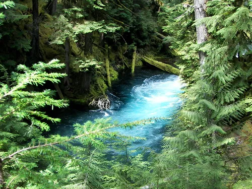
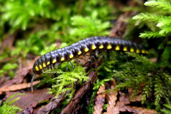
On the walk up Forest Road 130 I spot first a slug of considerable girth, then a tiny frog, and, lastly, a dead deer trapped in the flume at the top of that concrete channel. And somehow this seems appropriate. We are that deer.